The Madaba Map Centenary 1897-1997
Travelling through theByzantine Umayyad Period
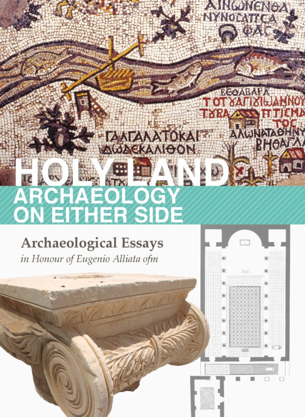
The Madaba Mosaic Map is a unique piece of art realised in 6th cent. A.D. as a decoration for the pavement of a church in the town of Madaba (Jordan) in the Byzantine Near East.
Proceedings of the International Conference Held in Amman, 7-9 April 1997. The Madaba Mosaic Map is a unique piece of art realised in 6th cent. A.D. as a decoration for the pavement of a church in the town of Madaba (Jordan) in the Byzantine Near East. At that time Madaba was part of the so called Provincia Arabia, and was inhabited by Aramaic speaking Christians descendant from the ancient biblical people of the Moabites. The mosaic was discovered accidentally about one hundred years ago (in 1897) while constructing a new church for the Greek-Orthodox Arab community, which was then settling on the very ruins of the ancient town of Madaba.
The mosaic represents the biblical land from Egypt to Lebanon, including Sinai, Israel, Palestine, and Transjordan.
The mosaicist conceived and carried out his masterwork with great topographical skill and biblical knowledge. The Madaba Mosaic map is deemed by some scholars to be the best topographic representation ever done before modern cartography. As a source of biblical topography the map is fully comparable with the well-known treatise on the biblical places written in Greek about 395 A.D. by the historian Eusebius of Caesarea and translated into Latin by Jerome about 490 A.D.
Language: English
Number of pages: 278
Format: Illustrated book
Year of publication: 1998
Publisher: Franciscan Printing Press
Collection: Collectio maior
- © Fondazione Terra Santa ETS - Terra Santa EdizioniVAT Reg. no. 07768880960Privacy policyCookie policy


